Heavy Rain and Record Cold to Impact the Region
September 27 - October 4, 2019
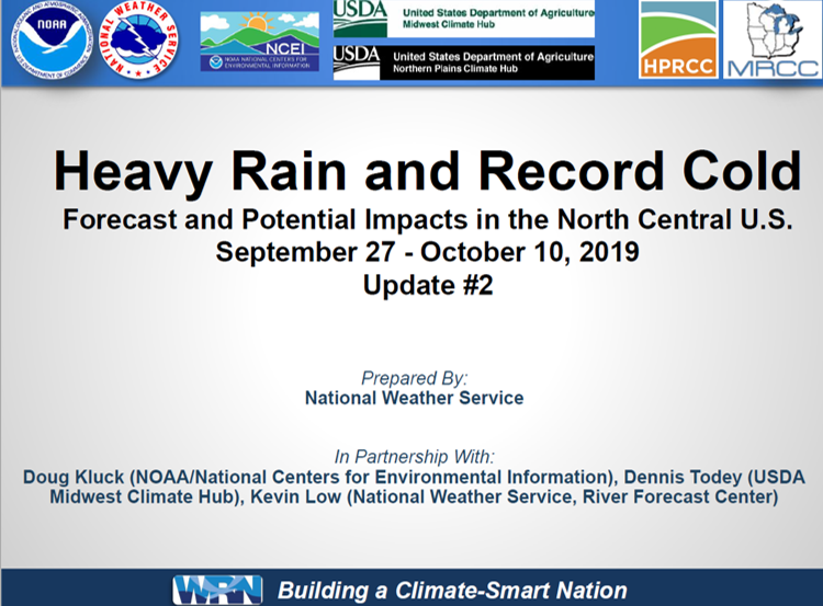
 Due to continued wet conditions over large portions of the north central U.S. there is an enhanced probability of impacts due to heavy rains and low temperatures over the next couple of weeks (updated 9/27/2019). From the NWS Central Region:
(Updated Sept 26th) Several rounds of heavy rain on top of ground that cannot accept any additional water will exacerbate ongoing flooding and create new flooded areas over the next two weeks, and potentially beyond. We are also looking at increased potential for very cold temperatures coming to the western and central corn belt and north western tier of states into early October. It is too early to tell at this time the extent of freezing conditions. Currently these are likely to happen on or around October 4th.
(Updated Sept 27th) Attached is an update on the continuation of the wet weather pattern of the past few weeks. Additionally, there is a signal that much below-normal temperatures could impact portions of the Northern Plains next week. Please monitor your local National Weather Service office for specific details.
The National Weather Service, including the Missouri Basin River Forecast Center, Climate Prediction Center, and the National Water Center collaborated with our partners at the National Center for Environmental Information (NCEI) and the USDA Midwest Climate Hub to produce the attached summary of current and expected conditions and impacts. Please feel free to contact us if you have any questions or concerns. Additional updates may be needed should this pattern continue to remain in place.
Regional Operations Center
(816) 200-1140

