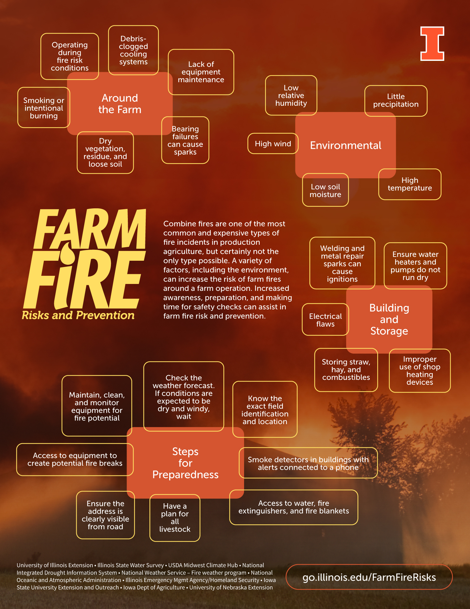
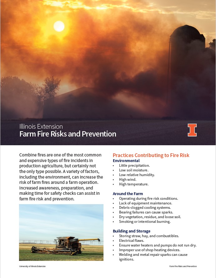
During periods of reduced precipitation and drought, farmers and land managers in the Midwest face an increased risk of rural on-farm fires. Fire can ignite in equipment, including tractors and combines, and can also spread through fields, fueled by dry crops and other vegetation.
Awareness and preparedness are key during excessively dry periods that coincide with field work. The following steps may help prevent fire and assist rapid response in the case of fire.
- Check the weather forecast. If conditions are expected to be dry and windy, wait.
- Ensure the address is clearly visible from the road.
- Know the exact field identification and location.
- Access to water, fire extinguishers, and fire blankets.
- Access to equipment to create potential fire breaks.
- Maintain, clean, and monitor equipment for fire potential.
- Smoke detectors in buildings with alerts connected to a phone.
- Have a plan for all livestock.
Learn more with our fact sheet and infographic, developed by University of Illinois Extension, the Midwest Climate Hub, and additional regional partners.
Assessing Harvest Season Fire Hazards
To stay on top of risks in your area, here are some resources to check before heading to the field:
- The US Drought Monitor: areas in elevated drought categories will have very dry vegetation on ag lands AND natural areas. Thus, fires can spread quickly over large domains).
- Soil moisture: along with dry vegetation, dry soils also favor fires that can spread rapidly (more red = drier soil). Check the local forecast for your area to see if rain will provide any relief.
- National Weather Service: check the 7-day forecast for your hometown and avoid field work on dry, hot, and windy days.
- Extended outlooks: as you think about fire risk past this current week, use the NWS’s extended outlooks to get a sense for upcoming harvest and fall tillage conditions.
Important Weather Links
- US Drought Monitor: National map or Midwest map
- Observed precipitation maps
- Soil moisture - satellite-based estimates (SPoRT)
- Scale interpretation: how this year ranks over the last 100 years in terms of dryness (e.g., areas in dark red rank in the top 2 driest years, red in the top 5, etc.)
- Fire potential outlook maps
- NWS local forecast for your hometown
- Enter your address or zip code in the “Enter location…” box on the upper left-side panel.
- Check the national map to see watches and warnings for your county!
- National forecast maps
- QPF = Quantitative Precipitation Forecast
- Temperature and precipitation outlooks (Climate Prediction Center)
- Interpretation: The likelihood that an area will be below, at, or above average in temperature or precipitation for given period (weekly, monthly, seasonal)
- Crop condition reports
- Article from Iowa State Extension: Fire Prevention and Safety Tips During Harvest
Download these weather and forecast resources as a fact sheet here


