

Grazing Lands
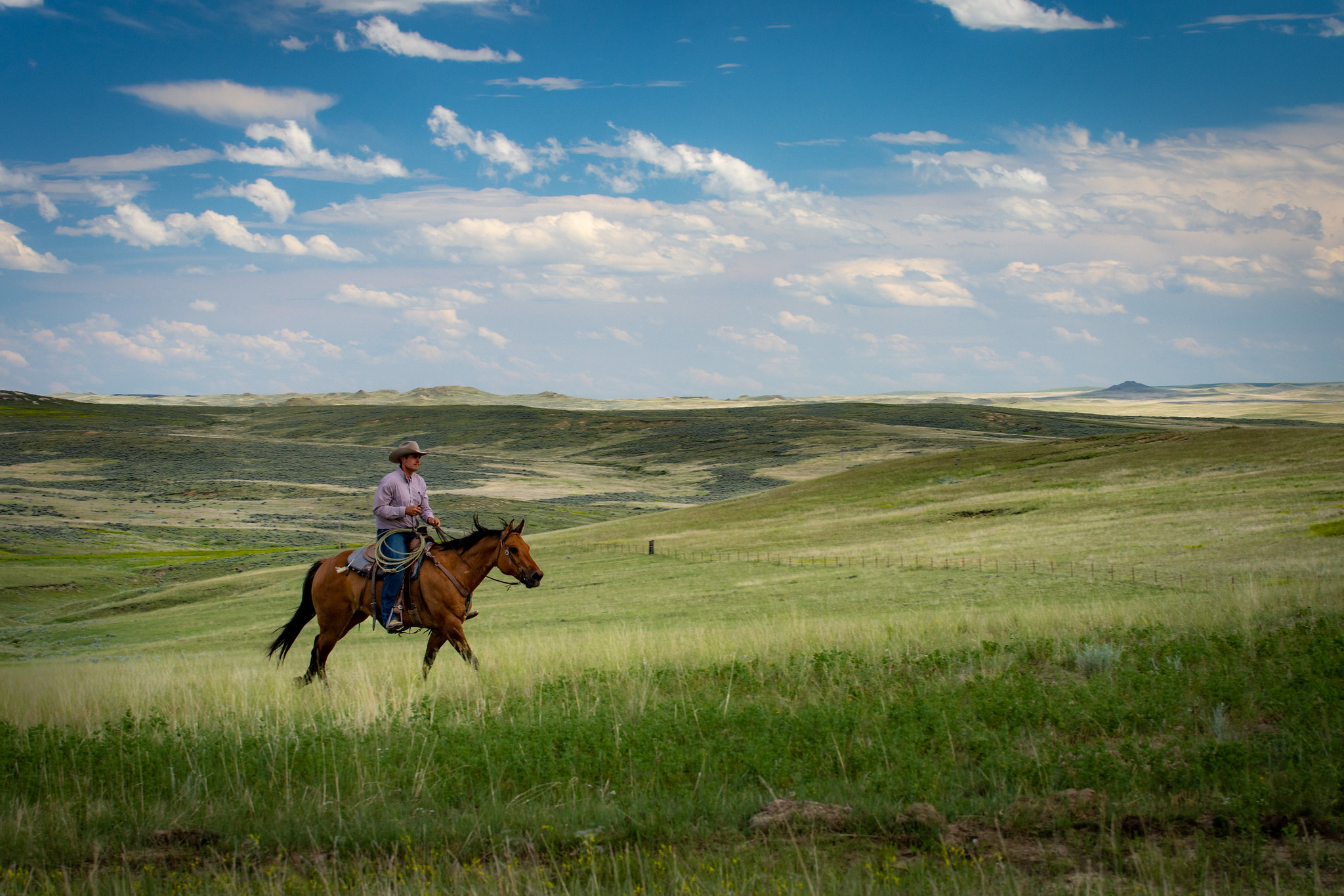 The impacts of climate change on grazing lands and the livestock operations that depend on them will vary by region, type of grazing land, vegetation community, and the type of livestock. These impacts are superimposed upon other factors such as land ownership, historical and current management, demographic changes and access to USDA programs.
Rangelands cover an area of 405.8 million acres or 21% of the U.S. surface area. In the Western states, rangelands are predominantly Federally-owned lands, whereas over the Great Plains, rangelands are privately-owned. Pasturelands are also privately owned and cover 121.1 million acres (6% of the U.S. surface area); pasturelands are more common in the wetter half of the US, to the east of the 97th meridian. Rangelands and pasturelands are both used for grazing but the difference between the two is that rangelands support natural (and usually native) ecosystems while pasturelands are highly managed, cultivated systems.
Continue to the full text Grazing Lands in a Changing Climate or browse related content:
-
The hidden world of soil seed banks may help restore Western rangelands

New research is showing that arid and semi-arid rangeland soils contain surprisingly biodiverse and abundant seed banks…
-
Drought Learning Network updates

At least 95% of resource managers want to hear from peers about lessons learned during drought. The Drought Learning…
-
The Native American Rangeland Training Initiative

The Native American Rangeland Training Initiative project aims to address tribal training and education through courses…
-
Grass-Cast Tutorial Webinar

The Grassland Productivity Forecast, or Grass-Cast, is an experimental model that generates map-based forecasts of…
-
Hurricane Preparation and Recovery Commodity Guides

People who live and work in the Southeastern United States are unfortunately familiar with the devastation and loss of…
-
Drought Resistant Practices

The USDA Natural Resources Conservation Service (NRCS) offers cost sharing for practices that help farmers increase…
-
Spatio-temporal analysis of Federal crop insurance cause of loss data: A roadmap for research and outreach efforts

Federal crop insurance provides a financial safety net for farmers against insured perils such as drought, heat, and…
-
Small Acres Family Farm, Southeastern Indiana

Small Acres Family Farm sits on 88 acres in Dearborn County in southeastern Indiana. The land has been in the family…
